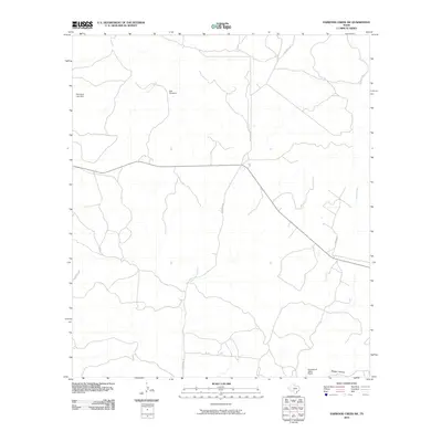
2010 Map of Earwood Creek SW
USGS Topo · Published 2010About this map
The East Prong Nueces River carves through this portion of Real County, anchoring a landscape defined by ranching operations and water management. Local infrastructure is highlighted by landmarks such as the Blair Windmill and the Heitmeyer Lake Dam, reflecting the essential role of water resource engineering in this environment. The settlement pattern is sparse, with the Greenwood Valley Ranch serving as a primary named property in the southern reaches. Drainage for the surrounding terrain is provided by seasonal watercourses including Contrary Creek and Hunger Creek, while Ranger Hollow marks a distinct topographical feature near the southeastern corner. A network of rural routes, including Hackberry Rd and Mitchell Ln, provides the only overland access through this sparsely populated territory.
Find a feature on this map
11 named features on this map. Tap any name to fly to it.
Don’t see what you’re looking for? This feature index may not catch every label — zoom into the map to look around manually.
Map Details
Editions of this 2010 Earwood Creek SW Map
This is the sole edition of this map. No revisions or reprints were ever made.
Other maps of this area

1893 · Rock Springs
USGS Topo · 1:125,000

1893 · Nueces
USGS Topo · 1:125,000

1896 · Nueces
USGS Topo · 1:125,000

1947 · Hackberry
USGS Topo · 1:62,500

1954 · Llano
USGS Topo · 1:250,000

1954 · San Antonio
USGS Topo · 1:250,000

1954 · Sonora
USGS Topo · 1:250,000

1955 · Llano
USGS Topo · 1:250,000

1956 · Llano
USGS Topo · 1:250,000

1957 · San Antonio
USGS Topo · 1:250,000