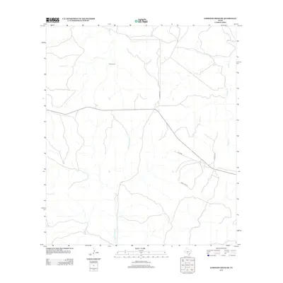
2012 Map of Earwood Creek SW
USGS Topo · Published 2012About this map
The E Prong Nueces River carves a path through this portion of Real County, defining a landscape of drainage networks and ranching infrastructure. Named watercourses like Contrary Cr and Hunger Cr feed the primary river system, indicating the watershed's complexity in this Edwards Plateau region. The map captures a contemporary look at rural land management, where the Blair Windmill stands as a significant landmark for local navigation and agricultural history. A sparse network of roads, including Hackberry Rd and Rocky View Rd, provides the primary access through the terrain, connecting isolated ranching tracts. This survey is particularly useful for identifying modern property access and the persistent natural landmarks that have guided inhabitants for generations.
Find a feature on this map
8 named features on this map. Tap any name to fly to it.
Don’t see what you’re looking for? This feature index may not catch every label — zoom into the map to look around manually.
Map Details
Editions of this 2012 Earwood Creek SW Map
This is the sole edition of this map. No revisions or reprints were ever made.
Other maps of this area

1893 · Rock Springs
USGS Topo · 1:125,000

1893 · Nueces
USGS Topo · 1:125,000

1896 · Nueces
USGS Topo · 1:125,000

1947 · Hackberry
USGS Topo · 1:62,500

1954 · Llano
USGS Topo · 1:250,000

1954 · San Antonio
USGS Topo · 1:250,000

1954 · Sonora
USGS Topo · 1:250,000

1955 · Llano
USGS Topo · 1:250,000

1956 · Llano
USGS Topo · 1:250,000

1957 · San Antonio
USGS Topo · 1:250,000