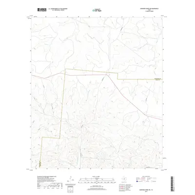
2019 Map of Earwood Creek SW
USGS Topo · Published 2019About this map
The E Prong Nueces River carves a central path through this section of the Edwards Plateau, where the drainage systems of Contrary Cr and Hunger Cr define the complex topography. Located along the boundary of Edwards and Real counties, the landscape is primarily defined by its hydrology and the network of primitive roads and tracks, such as Hackberry Rd and Fairview Rd, that follow the natural contours of the hills. The survey illustrates the deep incisions of Ranger Hollow and various unnamed draws, reflecting a land use pattern typical of this part of Southwest Texas where transportation is dictated by the rugged creek beds and high ridges.
Find a feature on this map
12 named features on this map. Tap any name to fly to it.
Don’t see what you’re looking for? This feature index may not catch every label — zoom into the map to look around manually.
Map Details
Editions of this 2019 Earwood Creek SW Map
This is the sole edition of this map. No revisions or reprints were ever made.
Other maps of this area

1893 · Rock Springs
USGS Topo · 1:125,000

1893 · Nueces
USGS Topo · 1:125,000

1896 · Nueces
USGS Topo · 1:125,000

1947 · Hackberry
USGS Topo · 1:62,500

1954 · Llano
USGS Topo · 1:250,000

1954 · San Antonio
USGS Topo · 1:250,000

1954 · Sonora
USGS Topo · 1:250,000

1955 · Llano
USGS Topo · 1:250,000

1956 · Llano
USGS Topo · 1:250,000

1957 · San Antonio
USGS Topo · 1:250,000