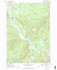
1968 Map of East Andover
USGS Topo · Published 1979About this map
The Ellis River meanders through a narrow agricultural valley in Oxford County, flanked by the heights of Farmers Hill and Whitecap Mtn. This late 1960s survey captures the rural character of the region, where small settlements like East Andover and South Andover serve as hubs for the surrounding timber and farm lands. A Covered Bridge and Gaging Sta near South Andover mark historic crossing points, while Farrington Airport provides a link to the wider region.
Find a feature on this map
45 named features on this map. Tap any name to fly to it.
Don’t see what you’re looking for? This feature index may not catch every label — zoom into the map to look around manually.
Map Details
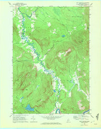
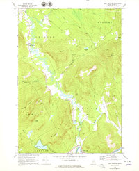
Editions of this 1968 East Andover Map
3 editions found
Other maps of this area

1911 · Bryant Pond
USGS Topo · 1:62,500

1914 · Bethel
USGS Topo · 1:62,500

1914 · Bryant Pond
USGS Topo · 1:62,500

1927 · Rumford
USGS Topo · 1:48,000

1930 · Rumford
USGS Topo · 1:62,500

1940 · Bethel
USGS Topo · 1:62,500

1941 · Bethel
USGS Topo · 1:62,500

1942 · Bryant Pond
USGS Topo · 1:62,500

1943 · Old Speck Mtn
USGS Topo · 1:62,500

1945 · Old Speck Mtn
USGS Topo · 1:62,500