
2024 Map of East Bay Junop
USGS Topo · Published 2024About this map
East Bay Junop and the surrounding marshlands of Terrebonne Parish dominate this coastal survey, where the terrestrial landscape dissolves into a complex network of brackish channels and open water. The map documents a fragile coastal environment defined by significant water bodies such as Big Hellhole Lake and Old Oyster Bayou Lake, which feed into larger systems like Caillou Bay and the Gulf of Mexico. The absence of roads or permanent structures underscores the isolation of this deltaic region, accessible only by water through passages like Pelican Pass and Indian Pass.
Find a feature on this map
34 named features on this map. Tap any name to fly to it.
Don’t see what you’re looking for? This feature index may not catch every label — zoom into the map to look around manually.
Map Details
Editions of this 2024 East Bay Junop Map
This is the sole edition of this map. No revisions or reprints were ever made.
Other maps of this area
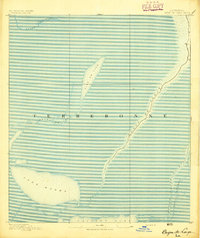
1894 · Bayou De Large
USGS Topo · 1:62,500
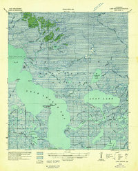
1932 · Lake Decade
USGS Topo · 1:62,500
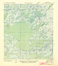
1935 · Lake Mechant
USGS Topo · 1:31,680
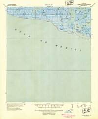
1935 · Oyster Bayou
USGS Topo · 1:62,500
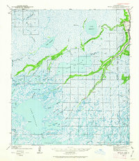
1940 · Bayou Du Large
USGS Topo · 1:62,500
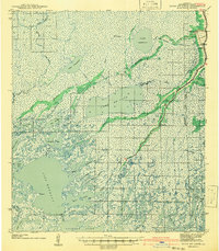
1941 · Bayou Du Large
USGS Topo · 1:62,500
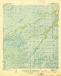
1944 · Bayou Du Large
USGS Topo · 1:62,500
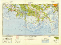
1945 · New Orleans
USGS Topo · 1:250,000
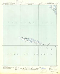
1947 · West Derniere
USGS Topo · 1:31,680
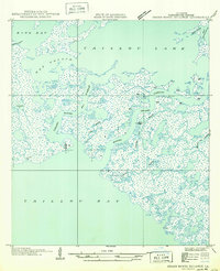
1949 · Grand Bayou Du Large
USGS Topo · 1:31,680