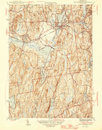
1946 Map of East Brookfield
USGS Topo · Published 1946About this map
East Brookfield and surrounding Worcester County townships are defined by a complex network of glacial ponds and narrow river valleys in this post-war topographic study. The Boston and Albany railroad corridor serves as the primary industrial spine, linking the settlements of Brookfield and Spencer across a landscape punctuated by prominent heights like Hitchcock Mountain and Teneriffe Hill. The prominence of water resources is evident in the connectivity between Lake Lashaway, Quaboag Pond, and the Quaboag River, which historically supported local industry. Genealogists will find significant value in the documentation of the Evergreen Cem and Podunk Cem, along with the industrial site at White Mill. The map also captures smaller clusters such as South Spencer and Mystic Grove, providing a clear view of central Massachusetts rural and village life before late-century suburban expansion.
Find a feature on this map
50 named features on this map. Tap any name to fly to it.
Don’t see what you’re looking for? This feature index may not catch every label — zoom into the map to look around manually.
Map Details
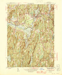
Editions of this 1946 East Brookfield Map
2 editions found
Other maps of this area

1885 · Worcester
USGS Topo · 1:62,500

1886 · Worcester
USGS Topo · 1:62,500

1887 · Brookfield
USGS Topo · 1:62,500

1887 · Barre
USGS Topo · 1:62,500

1889 · Webster
USGS Topo · 1:62,500

1889 · Barre
USGS Topo · 1:62,500

1890 · Brookfield
USGS Topo · 1:62,500

1892 · Webster
USGS Topo · 1:62,500

1892 · Worcester
USGS Topo · 1:62,500

1893 · Brookfield
USGS Topo · 1:62,500