
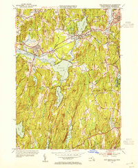
1954 Map of East Brookfield
USGS Topo · Published 1959About this map
The Quaboag River valley serves as a bustling corridor for mid-century transportation, defined by the parallel tracks of the Central Massachusetts Railroad and the New York Central Railroad. This survey, revised in 1954, captures the landscape just as the Massachusetts Turnpike was introduced to the southern reaches near Sturbridge and Charlton, altering the traditional rural layout of the region.
Find a feature on this map
67 named features on this map. Tap any name to fly to it.
Don’t see what you’re looking for? This feature index may not catch every label — zoom into the map to look around manually.
Map Details
Editions of this 1954 East Brookfield Map
3 editions found
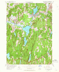
Other maps of this area

1885 · Worcester
USGS Topo · 1:62,500

1886 · Worcester
USGS Topo · 1:62,500

1887 · Brookfield
USGS Topo · 1:62,500

1887 · Barre
USGS Topo · 1:62,500

1889 · Webster
USGS Topo · 1:62,500

1889 · Barre
USGS Topo · 1:62,500

1890 · Brookfield
USGS Topo · 1:62,500

1892 · Webster
USGS Topo · 1:62,500

1892 · Worcester
USGS Topo · 1:62,500

1893 · Brookfield
USGS Topo · 1:62,500