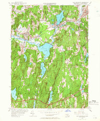
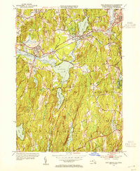
1954 Map of East Brookfield
USGS Topo · Published 1966About this map
The Quaboag River basin dominates this mid-century landscape, where a series of significant glacial ponds provided the foundation for local settlement and early industrial development. Large water bodies such as Quaboag Pond, Quacumquasit Pond, and Lake Lashaway are central to the terrain, bordered by the communities of Brookfield, East Brookfield, and South Spencer. The transportation infrastructure of the era is clearly defined, with the New York Central railroad and the Central Massachusetts Road bisecting the region. Local heritage is preserved through the mapping of several burial grounds, including Holy Rosary Cem and Podunk Cem, along with landmarks like Union Chapel. Rising above the river valleys, prominent elevations such as Hitchcock Mountain and Blanchard Hill frame a rural landscape in transition, documented just as the modern turnpike system began to integrate into the existing network of town roads.
Find a feature on this map
78 named features on this map. Tap any name to fly to it.
Don’t see what you’re looking for? This feature index may not catch every label — zoom into the map to look around manually.
Map Details
Editions of this 1954 East Brookfield Map
3 editions found

Other maps of this area

1885 · Worcester
USGS Topo · 1:62,500

1886 · Worcester
USGS Topo · 1:62,500

1887 · Brookfield
USGS Topo · 1:62,500

1887 · Barre
USGS Topo · 1:62,500

1889 · Webster
USGS Topo · 1:62,500

1889 · Barre
USGS Topo · 1:62,500

1890 · Brookfield
USGS Topo · 1:62,500

1892 · Webster
USGS Topo · 1:62,500

1892 · Worcester
USGS Topo · 1:62,500

1893 · Brookfield
USGS Topo · 1:62,500