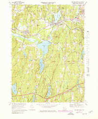
1969 Map of East Brookfield
USGS Topo · Published 1979About this map
The Quaboag River and Sevenmile River converge in this Worcester County landscape, shaping a corridor of wetland and water that includes Lake Lashaway, Quaboag Pond, and the smaller Claypit Pond. The settlement pattern follows this hydrological network, with East Brookfield and South Spencer clustered near the rail lines of the Conrail system. Further south, the terrain becomes more varied as it rises into Walker Mountain and Hitchcock Mountain, much of which is preserved within Wells State Park.
Find a feature on this map
73 named features on this map. Tap any name to fly to it.
Don’t see what you’re looking for? This feature index may not catch every label — zoom into the map to look around manually.
Map Details
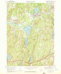
Editions of this 1969 East Brookfield Map
2 editions found
Other maps of this area

1885 · Worcester
USGS Topo · 1:62,500

1886 · Worcester
USGS Topo · 1:62,500

1887 · Brookfield
USGS Topo · 1:62,500

1887 · Barre
USGS Topo · 1:62,500

1889 · Webster
USGS Topo · 1:62,500

1889 · Barre
USGS Topo · 1:62,500

1890 · Brookfield
USGS Topo · 1:62,500

1892 · Webster
USGS Topo · 1:62,500

1892 · Worcester
USGS Topo · 1:62,500

1893 · Brookfield
USGS Topo · 1:62,500