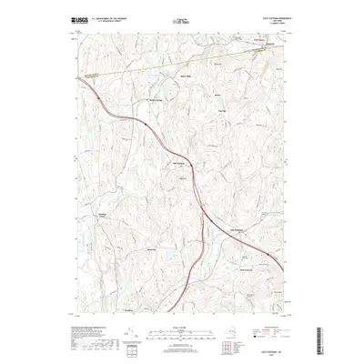
2019 Map of East Chatham
USGS Topo · Published 2019About this map
Kinderhook Creek flows through a landscape defined by historic settlements and high ridges in this portion of the upper Hudson Valley. The topography is marked by distinctive elevations such as Tonys Nose and Ashley Hill, while the valley floors are home to a network of hamlets including Old Chatham, East Chatham, and Malden Bridge. The area preserves a dense record of rural heritage, seen in the proximity of family and community burial grounds like Cem of the Maples and DeWitt Brown Road Cem. The historic Albany Tpke and various milling sites, such as Riders Mills, trace the early industrial and transit corridors that linked these communities. The interplay of watercourses like Stony Kill and Frisbee Cr against the rising terrain of The Knobit illustrates the geographic constraints that shaped the development of New Concord and Rock City.
Find a feature on this map
105 named features on this map. Tap any name to fly to it.
Don’t see what you’re looking for? This feature index may not catch every label — zoom into the map to look around manually.
Map Details
Editions of this 2019 East Chatham Map
This is the sole edition of this map. No revisions or reprints were ever made.
Other maps of this area

1888 · Berlin
USGS Topo · 1:62,500

1888 · Pittsfield
USGS Topo · 1:62,500

1890 · Pittsfield
USGS Topo · 1:62,500

1890 · Berlin
USGS Topo · 1:62,500

1893 · Troy
USGS Topo · 1:62,500

1893 · Pittsfield
USGS Topo · 1:62,500

1894 · Berlin
USGS Topo · 1:62,500

1894 · Pittsfield
USGS Topo · 1:62,500

1895 · Troy
USGS Topo · 1:62,500

1897 · Pittsfield
USGS Topo · 1:62,500