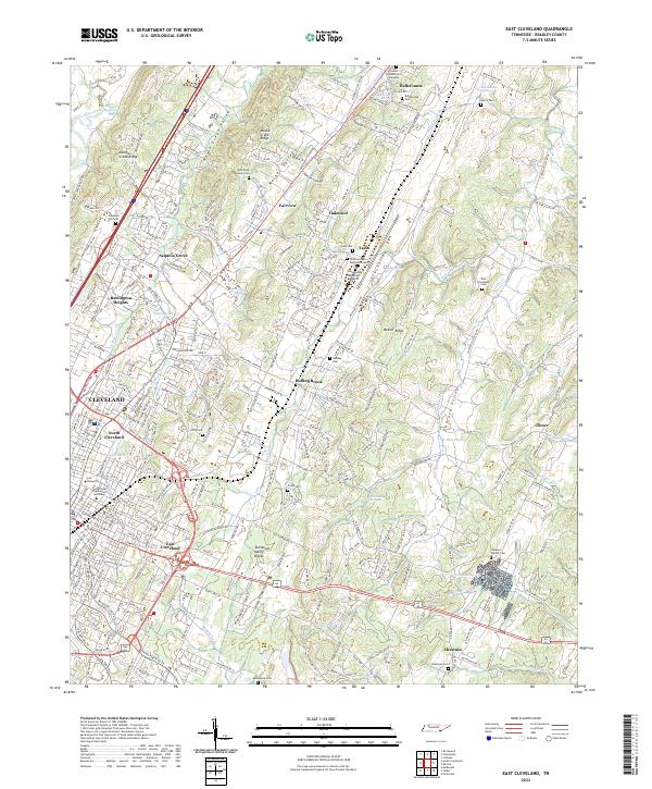
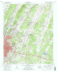
2022 Map of East Cleveland
USGS Topo · Published 2022About this map
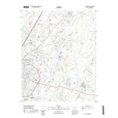
Cleveland, Tennessee, and its eastern suburbs are defined by a series of long ridges and valleys that dictate the city's modern expansion. The urban footprint of North Cleveland and East Cleveland gives way to residential developments like Burlington Heights and Sequoia Grove, while the Cleveland Regional Jetport occupies a prominent position in the Dry Valley. This 2022 survey captures a landscape where institutional landmarks like Lee University and the Pentecostal Theological Seminary anchor the city center, while rural outposts like Tasso and Climer maintain their identity amidst the rolling terrain of Mouse Creek Valley and Chatata Valley.
Find a feature on this map
72 named features on this map. Tap any name to fly to it.
Don’t see what you’re looking for? This feature index may not catch every label — zoom into the map to look around manually.
Map Details
Editions of this 2022 East Cleveland Map
This is the sole edition of this map. No revisions or reprints were ever made.
Historical Maps of Cleveland Through Time
9 maps found
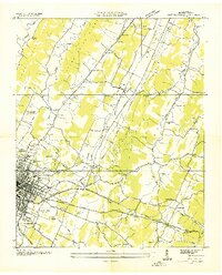
1935 East Cleveland
Bradley County, TN
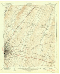
1943 East Cleveland
Bradley County, TN
1965 East Cleveland
Bradley County, TN
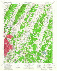
1976 East Cleveland
Bradley County, TN
2010 East Cleveland
Bradley County, TN
2013 East Cleveland
Bradley County, TN
2016 East Cleveland
Bradley County, TN
2019 East Cleveland
Bradley County, TN
2022 East Cleveland
Bradley County, TN