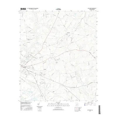
2017 Map of East Dublin
USGS Topo · Published 2017About this map
The Oconee River shapes the western boundary of this landscape, where the growing residential developments of East Dublin meet the rural agricultural reaches of Laurens County. The area is defined by a series of small settlements and crossroads such as Brewton, Condor, and Catlin, connected by a network of local roads like Old River Ln and Wrightsville Ave. Cultural and genealogical markers are frequent, including Brewton Cem, Gethsemane Cem, and Bethlehem Cem, which document the long-standing community ties in this region. Industrial history is noted by the Mohasco Carpets Industrial Pond in the south, while the topography is punctuated by numerous water bodies like Lovett Lake and Brinkley Lake. The map illustrates the transition from the structured street grid of the river town to the winding creeks and timbered ridges of the Georgia interior.
Find a feature on this map
132 named features on this map. Tap any name to fly to it.
Don’t see what you’re looking for? This feature index may not catch every label — zoom into the map to look around manually.
Map Details
Editions of this 2017 East Dublin Map
This is the sole edition of this map. No revisions or reprints were ever made.
Other maps of this area

1957 · Macon
USGS Topo · 1:250,000

1958 · Macon
USGS Topo · 1:250,000

1964 · Macon
USGS Topo · 1:250,000

1971 · Rockledge
USGS Topo · 1:24,000

1974 · Cow Hell Swamp
USGS Topo · 1:24,000

1974 · Wrightsville
USGS Topo · 1:24,000

1974 · Rentz
USGS Topo · 1:24,000

1974 · East Dublin
USGS Topo · 1:24,000

1974 · Lovett
USGS Topo · 1:24,000

1974 · Scott
USGS Topo · 1:24,000