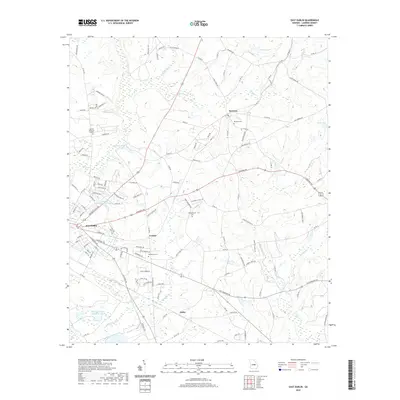
2020 Map of East Dublin
USGS Topo · Published 2020About this map
East-Dublin and its eastern Laurens County surroundings appear in this 2020 survey, showing the transition from the city's residential streets to the agricultural and wetland landscapes of central Georgia. The area is defined by a network of creeks, including Brewton Cr, Big Cr, and Shaddock Cr, which feed several named bodies of water like Lovett Lake and Brinkley Lake. Small rural communities such as Condor, Brewton, and Catlin serve as local landmarks along the secondary road network.
Find a feature on this map
128 named features on this map. Tap any name to fly to it.
Don’t see what you’re looking for? This feature index may not catch every label — zoom into the map to look around manually.
Map Details
Editions of this 2020 East Dublin Map
This is the sole edition of this map. No revisions or reprints were ever made.
Other maps of this area

1957 · Macon
USGS Topo · 1:250,000

1958 · Macon
USGS Topo · 1:250,000

1964 · Macon
USGS Topo · 1:250,000

1971 · Rockledge
USGS Topo · 1:24,000

1974 · Cow Hell Swamp
USGS Topo · 1:24,000

1974 · Wrightsville
USGS Topo · 1:24,000

1974 · Rentz
USGS Topo · 1:24,000

1974 · East Dublin
USGS Topo · 1:24,000

1974 · Lovett
USGS Topo · 1:24,000

1974 · Scott
USGS Topo · 1:24,000