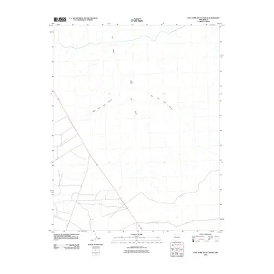
2010 Map of East Fork Kutz Canyon
USGS Topo · Published 2010About this map
Twin Angels Pueblo stands as a focal point of ancestral history within this high desert landscape, situated near the headwaters of the complex drainage system of Kutz Canyon. The map reveals a network of modern rural infrastructure overlaying an ancient geography, where the West Fork Kutz Canyon and East Fork Kutz Canyon carve deep through the plateau. A sparse but deliberate network of local routes, including Road 7100 and County Rd 7225, provides access to this corner of the Eastern Navajo Agency. The drainage patterns shown here are critical for understanding both archaeological site placement and the modern management of these arid lands, illustrating how water and topography have dictated movement in the region for centuries.
Find a feature on this map
9 named features on this map. Tap any name to fly to it.
Don’t see what you’re looking for? This feature index may not catch every label — zoom into the map to look around manually.
Map Details
Editions of this 2010 East Fork Kutz Canyon Map
This is the sole edition of this map. No revisions or reprints were ever made.
Other maps of this area
1889 · Largo
USGS Topo · 1:250,000
1889 · Chaco
USGS Topo · 1:250,000
1892 · Chaco
USGS Topo · 1:250,000
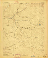
1895 · Largo
USGS Topo · 1:250,000

1954 · Shiprock
USGS Topo · 1:250,000
1954 · Aztec
USGS Topo · 1:250,000
1958 · Shiprock
USGS Topo · 1:250,000
1958 · Aztec
USGS Topo · 1:250,000
1959 · Shiprock
USGS Topo · 1:250,000
1960 · Bloomfield
USGS Topo · 1:62,500