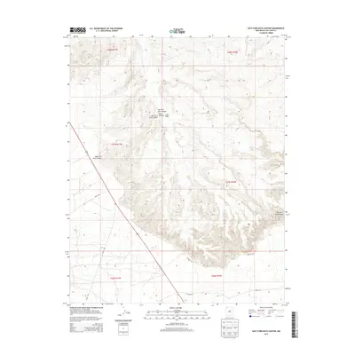
2013 Map of East Fork Kutz Canyon
USGS Topo · Published 2013About this map
Twin Angels Pueblo sits atop the high ground overlooking the confluence of significant drainages in this corner of the San Juan Basin. The landscape is defined by the erosion-carved depths of Kutz Canyon, where the West Fork Kutz Canyon and the East Fork Kutz Canyon meet amidst a network of mesas. This 2013 survey illustrates the modern rural infrastructure of the Eastern Navajo Agency, showing a grid of administrative roads such as Road 7100 and Co Road 7175 that negotiate the broken terrain. The presence of the pueblo site highlights the long-standing significance of these canyon rims, which served as points of navigation and habitation for centuries before the establishment of the contemporary township and range boundaries that now section the New Mexico desert.
Find a feature on this map
16 named features on this map. Tap any name to fly to it.
Don’t see what you’re looking for? This feature index may not catch every label — zoom into the map to look around manually.
Map Details
Editions of this 2013 East Fork Kutz Canyon Map
This is the sole edition of this map. No revisions or reprints were ever made.
Other maps of this area
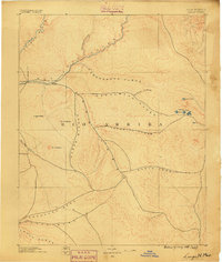
1889 · Largo
USGS Topo · 1:250,000
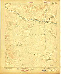
1889 · Chaco
USGS Topo · 1:250,000
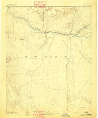
1892 · Chaco
USGS Topo · 1:250,000
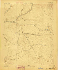
1895 · Largo
USGS Topo · 1:250,000

1954 · Shiprock
USGS Topo · 1:250,000
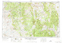
1954 · Aztec
USGS Topo · 1:250,000
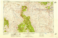
1958 · Shiprock
USGS Topo · 1:250,000
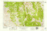
1958 · Aztec
USGS Topo · 1:250,000
1959 · Shiprock
USGS Topo · 1:250,000
1960 · Bloomfield
USGS Topo · 1:62,500