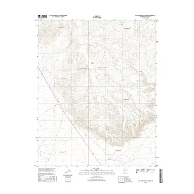
2017 Map of East Fork Kutz Canyon
USGS Topo · Published 2017About this map
Kutz Canyon dominates this landscape in San Juan County, where the deeply carved drainage system of the West Fork and East Fork creates a complex network of arid badlands and mesas. The map documents a sparsely populated region of the Eastern Navajo Agency during the mid-2010s, characterized by a grid of rural routes and access roads rather than established town centers. Transportation through this high-desert environment is facilitated by corridors such as Creek 7100 and Co Rd 7175, which navigate the elevation changes between the canyon floor and the surrounding plateaus. The cartography provides a clear view of the Public Land Survey System divisions, from t28n r11w in the northwest to t26n r10w in the southeast, marking the intersection of geological landforms and administrative boundaries.
Find a feature on this map
14 named features on this map. Tap any name to fly to it.
Don’t see what you’re looking for? This feature index may not catch every label — zoom into the map to look around manually.
Map Details
Editions of this 2017 East Fork Kutz Canyon Map
This is the sole edition of this map. No revisions or reprints were ever made.
Other maps of this area
1889 · Largo
USGS Topo · 1:250,000
1889 · Chaco
USGS Topo · 1:250,000
1892 · Chaco
USGS Topo · 1:250,000
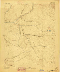
1895 · Largo
USGS Topo · 1:250,000

1954 · Shiprock
USGS Topo · 1:250,000
1954 · Aztec
USGS Topo · 1:250,000
1958 · Shiprock
USGS Topo · 1:250,000
1958 · Aztec
USGS Topo · 1:250,000
1959 · Shiprock
USGS Topo · 1:250,000
1960 · Bloomfield
USGS Topo · 1:62,500