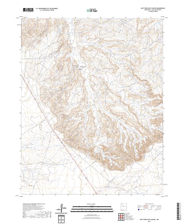
2023 Map of East Fork Kutz Canyon
USGS Topo · Published 2023About this map
East Fork Kutz Canyon and West Fork Kutz Canyon converge in this high-desert landscape of San Juan County, New Mexico, forming a complex drainage network that defines the local geography. The area is characterized by the intricate contouring of the canyon walls and the expansive system of mesas and washes typical of the Four Corners region.
Find a feature on this map
14 named features on this map. Tap any name to fly to it.
Don’t see what you’re looking for? This feature index may not catch every label — zoom into the map to look around manually.
Map Details
Editions of this 2023 East Fork Kutz Canyon Map
This is the sole edition of this map. No revisions or reprints were ever made.
Other maps of this area

1889 · Largo
USGS Topo · 1:250,000

1889 · Chaco
USGS Topo · 1:250,000

1892 · Chaco
USGS Topo · 1:250,000

1895 · Largo
USGS Topo · 1:250,000

1954 · Shiprock
USGS Topo · 1:250,000

1954 · Aztec
USGS Topo · 1:250,000

1958 · Shiprock
USGS Topo · 1:250,000

1958 · Aztec
USGS Topo · 1:250,000

1959 · Shiprock
USGS Topo · 1:250,000

1960 · Bloomfield
USGS Topo · 1:62,500