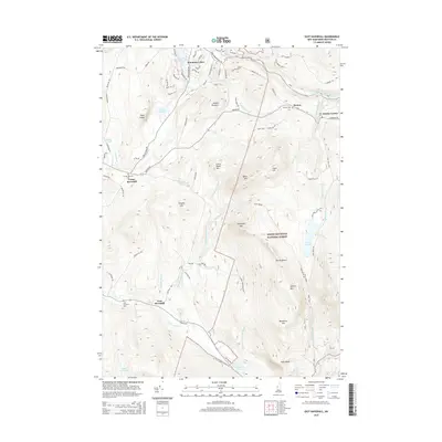
2015 Map of East Haverhill
USGS Topo · Published 2015About this map
Center Haverhill and East Haverhill anchor the western valley of this Grafton County landscape, where the B & M RR follows the corridor of the Oliverian Brook. This 2015 update captures a transition from the lower residential settlements to the high peaks of the White Mountain National Forest. High-elevation landmarks like Sugarloaf Mtn, Black Mtn, and the distinctive The Hogsback dominate the central terrain, while Lake Constance and Long Pond are found tucked among the steeper slopes to the east. Genealogists will find several burial grounds noted, including the Center Haverhill Cem and Benton Cem near the settlement of Benton. The northern reach is defined by the Wild Ammonoosuc River and the developed enclave of Mountain Lakes, showing the modern footprint of these mountain communities.
Find a feature on this map
90 named features on this map. Tap any name to fly to it.
Don’t see what you’re looking for? This feature index may not catch every label — zoom into the map to look around manually.
Map Details
Editions of this 2015 East Haverhill Map
This is the sole edition of this map. No revisions or reprints were ever made.
Other maps of this area

1928 · Rumney
USGS Topo · 1:62,500

1929 · Moosilauke
USGS Topo · 1:62,500

1931 · Mt. Cube
USGS Topo · 1:62,500

1931 · Woodsville
USGS Topo · 1:48,000

1932 · Rumney
USGS Topo · 1:62,500

1932 · Moosilauke
USGS Topo · 1:62,500

1933 · Mt. Cube
USGS Topo · 1:62,500

1935 · Woodsville
USGS Topo · 1:62,500

1941 · Woodsville
USGS Topo · 1:62,500

1949 · Portland
USGS Topo · 1:250,000