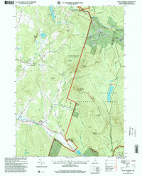
1995 Map of East Haverhill
USGS Topo · Published 2000About this map
The Ammonoosuc River and Oliverian Brook define the hydrologic character of this mountain landscape, recorded during a 1995 revision of mid-century topography. Small community clusters such as Benton and East Haverhill reflect the persistent settlement patterns of rural Grafton County, while the presence of the Glebecliff State Sanatorium and an Armory near Center Haverhill indicate institutional land use outside the primary village centers.
Find a feature on this map
51 named features on this map. Tap any name to fly to it.
Don’t see what you’re looking for? This feature index may not catch every label — zoom into the map to look around manually.
Map Details
Editions of this 1995 East Haverhill Map
This is the sole edition of this map. No revisions or reprints were ever made.
Other maps of this area

1928 · Rumney
USGS Topo · 1:62,500

1929 · Moosilauke
USGS Topo · 1:62,500

1931 · Mt. Cube
USGS Topo · 1:62,500

1931 · Woodsville
USGS Topo · 1:48,000

1932 · Rumney
USGS Topo · 1:62,500

1932 · Moosilauke
USGS Topo · 1:62,500

1933 · Mt. Cube
USGS Topo · 1:62,500

1935 · Woodsville
USGS Topo · 1:62,500

1941 · Woodsville
USGS Topo · 1:62,500

1949 · Portland
USGS Topo · 1:250,000