
1973 Map of East Lee
USGS Topo · Published 1978About this map
The Housatonic River corridor defines the western edge of this 1970s landscape, where industrial sites like Lenox Dale (Niagara Sta) and the Penn Central rail line contrast with the expansive October Mountain State Forest. High-elevation water bodies like Washington Mountain Lake and Buckley Dunton Lake are scattered across the interior, while the Appalachian Trail winds through the high ground of Walling Mtn and Becket Mtn.
Find a feature on this map
70 named features on this map. Tap any name to fly to it.
Don’t see what you’re looking for? This feature index may not catch every label — zoom into the map to look around manually.
Map Details
Editions of this 1973 East Lee Map
3 editions found
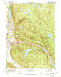
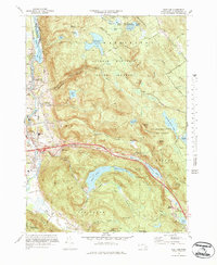
Other maps of this area

1885 · Sheffield
USGS Topo · 1:62,500

1886 · Becket
USGS Topo · 1:62,500

1888 · Sheffield
USGS Topo · 1:62,500

1888 · Becket
USGS Topo · 1:62,500

1888 · Sandisfield
USGS Topo · 1:62,500

1888 · Pittsfield
USGS Topo · 1:62,500

1890 · Pittsfield
USGS Topo · 1:62,500

1891 · Sheffield
USGS Topo · 1:62,500

1893 · Becket
USGS Topo · 1:62,500

1893 · Sheffield
USGS Topo · 1:62,500