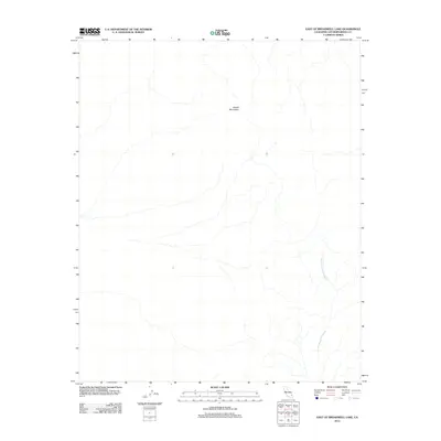
2012 Map of East of Broadwell Lake
USGS Topo · Published 2012About this map
Bristol Mountains dominate the northern portion of this Mojave Desert landscape, with the terrain sloping southward toward a complex network of drainage patterns. The hydrology of the region is defined by the Bristol Mountains Wash, which carries seasonal runoff from the higher elevations through the arid basin. This 2012 survey illustrates the untouched character of this San Bernardino County interior, where natural landforms remain the primary geographic identifiers. The lack of built infrastructure reflects the preservation of the desert environment, providing a detailed record of the natural drainage systems and topographic relief before any modern development or significant human alteration of the landscape.
Find a feature on this map
2 named features on this map. Tap any name to fly to it.
Don’t see what you’re looking for? This feature index may not catch every label — zoom into the map to look around manually.
Map Details
Editions of this 2012 East of Broadwell Lake Map
This is the sole edition of this map. No revisions or reprints were ever made.
Other maps of this area

1942 · Amboy
USGS Topo · 1:250,000

1943 · Amboy
USGS Topo · 1:250,000
1953 · San Bernardino
USGS Topo · 1:250,000

1954 · Needles
USGS Topo · 1:250,000
1955 · Ludlow
USGS Topo · 1:24,000
1955 · Ash Hill
USGS Topo · 1:24,000
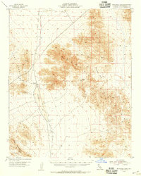
1955 · Broadwell Lake
USGS Topo · 1:62,500
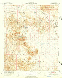
1955 · Ludlow
USGS Topo · 1:62,500
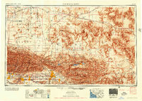
1956 · San Bernardino
USGS Topo · 1:250,000
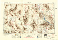
1956 · Needles
USGS Topo · 1:250,000