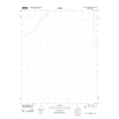
2012 Map of East of Chloride City
USGS Topo · Published 2012About this map
Chloride Cliff Rd cuts across the northwest corner of this high-desert terrain on the California-Nevada border. The map focuses on a landscape defined by an intricate network of desert washes and drainage patterns flowing eastward toward the Amargosa Valley region. Mapping by the U.S. Geological Survey in this era highlights the extreme topography through detailed contour intervals, though human development remains sparse. This specific quadrangle captures a rugged transition zone where limited road access like the track to Chloride Cliff provides the only path through the complex system of natural arroyos and ridges.
Find a feature on this map
1 named feature on this map. Tap any name to fly to it.
Don’t see what you’re looking for? This feature index may not catch every label — zoom into the map to look around manually.
Map Details
Editions of this 2012 East of Chloride City Map
This is the sole edition of this map. No revisions or reprints were ever made.
Other maps of this area

1908 · Furnace Creek
USGS Topo · 1:250,000

1910 · Furnace Creek
USGS Topo · 1:250,000

1942 · Bullfrog
USGS Topo · 1:125,000

1948 · Death Valley
USGS Topo · 1:250,000

1952 · Chloride Cliff
USGS Topo · 1:50,000

1952 · Big Dune
USGS Topo · 1:62,500

1954 · Bare Mtn
USGS Topo · 1:62,500

1954 · Bullfrog
USGS Topo · 1:62,500

1954 · Death Valley
USGS Topo · 1:250,000

1956 · Death Valley
USGS Topo · 1:250,000