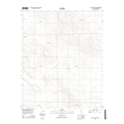
2015 Map of East of Goldstone
USGS Topo · Published 2015About this map
Echo and Apollo appear as lonely outposts in this 2015 study of the High Mojave Desert, an area defined by deep valleys and the technical infrastructure of the modern era. The landscape is marked by a network of specialized routes including Goldstone Rd, Venus Station Rd, and Gemini Sta, reflecting the region's role in space communications and scientific research. The Nasa label near the southern edge identifies the primary presence in this arid terrain. While the geography is dominated by complex contouring and desert basins, the proximity of these named stations and technical corridors provides a detailed look at the infrastructure supporting orbital and deep-space operations in San Bernardino County.
Find a feature on this map
13 named features on this map. Tap any name to fly to it.
Don’t see what you’re looking for? This feature index may not catch every label — zoom into the map to look around manually.
Map Details
Editions of this 2015 East of Goldstone Map
This is the sole edition of this map. No revisions or reprints were ever made.
Other maps of this area

1933 · Avawatz Mountains
USGS Topo · 1:250,000

1947 · Trona
USGS Topo · 1:250,000

1948 · Trona
USGS Topo · 1:250,000
1948 · Alvord Mountain
USGS Topo · 1:62,500
1948 · Lane Mountain
USGS Topo · 1:62,500
1948 · Goldstone Lake
USGS Topo · 1:62,500
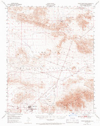
1948 · Tiefort Mountains
USGS Topo · 1:62,500
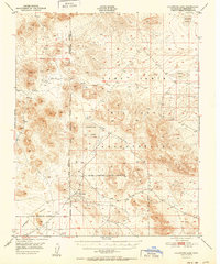
1951 · Goldstone Lake
USGS Topo · 1:62,500
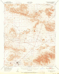
1951 · Tiefort Mountains
USGS Topo · 1:62,500
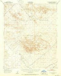
1951 · Alvord Mountain
USGS Topo · 1:62,500