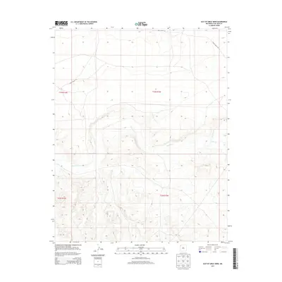
2013 Map of East of Great Bend
USGS Topo · Published 2013About this map
Chaco River meanders across this high desert landscape within the San Juan Basin, defining the drainage patterns of the northwest New Mexico terrain. The river is joined by Indian Cr in the eastern portion of the survey, where the topography shows significant elevation changes and seasonal washes typical of the Shiprock Agency region. This 2013 record documents the limited infrastructure of the area, characterized primarily by the Indian Service Rte, which traverses the northern and western sections. The map provides a detailed view of the Public Land Survey System grid across portions of t23n r15w, t23n r16w, t22n r15w, and t22n r16w, showing how legal boundaries overlay the natural geography of the basin floor.
Find a feature on this map
7 named features on this map. Tap any name to fly to it.
Don’t see what you’re looking for? This feature index may not catch every label — zoom into the map to look around manually.
Map Details
Editions of this 2013 East of Great Bend Map
This is the sole edition of this map. No revisions or reprints were ever made.
Other maps of this area
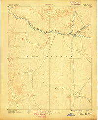
1889 · Chaco
USGS Topo · 1:250,000
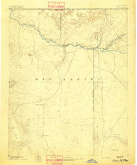
1892 · Chaco
USGS Topo · 1:250,000
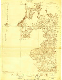
1927 · Sulphur Spring
USGS Topo · 1:96,000
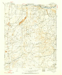
1928 · Kirtland
USGS Topo · 1:125,000
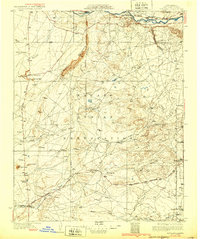
1932 · Kirtland
USGS Topo · 1:125,000

1954 · Shiprock
USGS Topo · 1:250,000
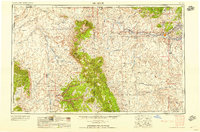
1958 · Shiprock
USGS Topo · 1:250,000
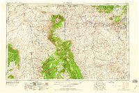
1959 · Shiprock
USGS Topo · 1:250,000
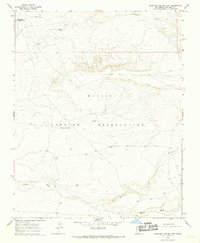
1966 · Burnham Trading Post
USGS Topo · 1:24,000
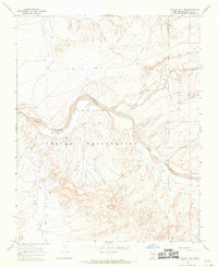
1966 · The Pillar 3 NE
USGS Topo · 1:24,000