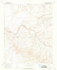
1966 Map of The Pillar 3 NE
USGS Topo · Published 1969About this map
Navajo Indian Reservation lands dominate this mid-century landscape in San Juan County, characterized by a complex network of seasonal watercourses and industrial infrastructure. The Chaco River carves a broad path through the terrain, joined by tributaries including Hunter Wash, De-na-zin Wash, and Indian Creek. These drainages define the movement across the high desert, where water availability is marked by scattered labels for Well and Wells. Human activity is primarily centered on resource extraction and utility transport, evidenced by several Mine locations and long stretches of Pipeline that traverse the plateaus. The map documents the region's transition into a more industrialized era while maintaining its traditional identity, providing a clear record of land use and surveying before more modern developments altered the local topography.
Find a feature on this map
11 named features on this map. Tap any name to fly to it.
Don’t see what you’re looking for? This feature index may not catch every label — zoom into the map to look around manually.
Map Details
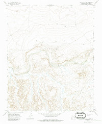
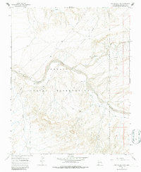
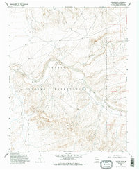
Editions of this 1966 The Pillar 3 NE Map
4 editions found
Other maps of this area

1889 · Chaco
USGS Topo · 1:250,000

1892 · Chaco
USGS Topo · 1:250,000

1927 · Sulphur Spring
USGS Topo · 1:96,000

1928 · Kirtland
USGS Topo · 1:125,000

1932 · Kirtland
USGS Topo · 1:125,000

1954 · Shiprock
USGS Topo · 1:250,000

1958 · Shiprock
USGS Topo · 1:250,000

1959 · Shiprock
USGS Topo · 1:250,000
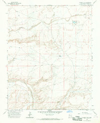
1966 · Tanner Lake
USGS Topo · 1:24,000
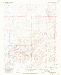
1966 · Alamo Mesa West
USGS Topo · 1:24,000