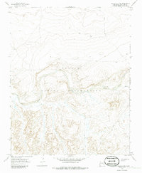
1966 Map of The Pillar 3 NE
USGS Topo · Published 1986About this map
The Navajo Indian Reservation landscape is defined by the winding course of the Chaco River as it passes through San Juan County in the mid-1960s. This survey, based on 1965 aerial photography and 1966 field checks, captures a high-desert environment where water remains the primary determinant of activity and geography. Smaller drainage features like Indian Cr feed into the main river valley, while a lone Well and a solitary Pipeline represent the sparse infrastructure of the era. The topographic detail highlights the intricate drainage patterns and mesa edges that characterize this section of the reservation before more modern development reached the area.
Find a feature on this map
5 named features on this map. Tap any name to fly to it.
Don’t see what you’re looking for? This feature index may not catch every label — zoom into the map to look around manually.
Map Details
Editions of this 1966 The Pillar 3 NE Map
4 editions found
Other maps of this area

1889 · Chaco
USGS Topo · 1:250,000

1892 · Chaco
USGS Topo · 1:250,000

1927 · Sulphur Spring
USGS Topo · 1:96,000

1928 · Kirtland
USGS Topo · 1:125,000

1932 · Kirtland
USGS Topo · 1:125,000

1954 · Shiprock
USGS Topo · 1:250,000

1958 · Shiprock
USGS Topo · 1:250,000

1959 · Shiprock
USGS Topo · 1:250,000
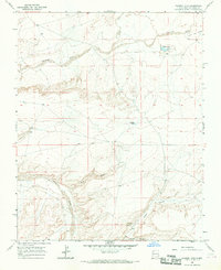
1966 · Tanner Lake
USGS Topo · 1:24,000
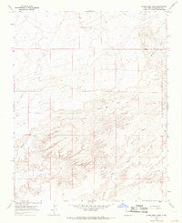
1966 · Alamo Mesa West
USGS Topo · 1:24,000