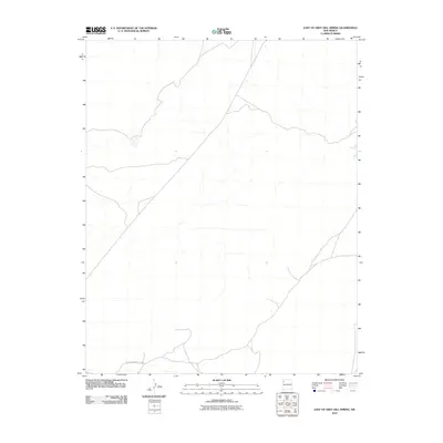
2010 Map of East of Grey Hill Spring
USGS Topo · Published 2010About this map
Arid drainage systems and ephemeral watercourses dominate this terrain within the Fort Defiance Agency. The primary transportation artery through this landscape is Indian Service Route 9652, which traverses the southern portion of the quadrangle. This area of New Mexico is characterized by its isolation and the intricate network of dry washes that feed into larger regional basins. For researchers and historians, the map's depiction of the local road infrastructure provides a baseline for understanding the connectivity of tribal lands during the early 21st century, showing how modern transit routes follow the natural contours of the high desert topography.
Find a feature on this map
1 named feature on this map. Tap any name to fly to it.
Don’t see what you’re looking for? This feature index may not catch every label — zoom into the map to look around manually.
Map Details
Editions of this 2010 East of Grey Hill Spring Map
This is the sole edition of this map. No revisions or reprints were ever made.
Other maps of this area

1886 · Wingate
USGS Topo · 1:250,000

1889 · Chaco
USGS Topo · 1:250,000

1892 · Wingate
USGS Topo · 1:250,000

1892 · Chaco
USGS Topo · 1:250,000

1954 · Shiprock
USGS Topo · 1:250,000

1954 · Gallup
USGS Topo · 1:250,000

1958 · Gallup
USGS Topo · 1:250,000

1958 · Shiprock
USGS Topo · 1:250,000

1959 · Shiprock
USGS Topo · 1:250,000

1959 · Gallup
USGS Topo · 1:250,000