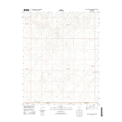
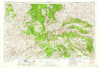
2013 Map of East of Grey Hill Spring
USGS Topo · Published 2013About this map
San Juan Co and McKinley Co meet along a remote boundary line in this high-desert portion of the Southwest. The landscape is defined by its Public Land Survey System grids, including t22n r15w, t21n r15w, and t20n r15w, which organize the arid terrain into distinct sections. Human infrastructure is minimal, represented primarily by the winding path of Indian Service Route 9652, which traverses the southern reaches of the map. This arterial connection reflects the logistical patterns of the area, providing access through a region characterized by undulating elevation and dispersed drainage features.
Find a feature on this map
9 named features on this map. Tap any name to fly to it.
Don’t see what you’re looking for? This feature index may not catch every label — zoom into the map to look around manually.
Map Details
Editions of this 2013 East of Grey Hill Spring Map
This is the sole edition of this map. No revisions or reprints were ever made.
Other maps of this area
1886 · Wingate
USGS Topo · 1:250,000
1889 · Chaco
USGS Topo · 1:250,000
1892 · Wingate
USGS Topo · 1:250,000
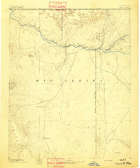
1892 · Chaco
USGS Topo · 1:250,000

1954 · Shiprock
USGS Topo · 1:250,000

1954 · Gallup
USGS Topo · 1:250,000
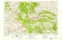
1958 · Gallup
USGS Topo · 1:250,000
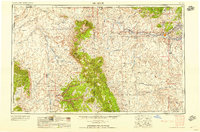
1958 · Shiprock
USGS Topo · 1:250,000
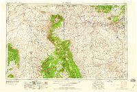
1959 · Shiprock
USGS Topo · 1:250,000
1959 · Gallup
USGS Topo · 1:250,000