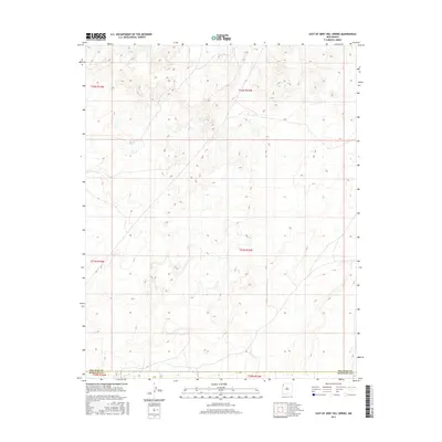
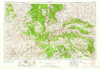
2017 Map of East of Grey Hill Spring
USGS Topo · Published 2017About this map
The county line between San Juan Co and McKinley Co bisects this high-desert landscape in northwestern New Mexico. This 2017 survey details a remote expanse of the Colorado Plateau, defined by the Public Land Survey System (PLSS) grid across townships such as T21n R15w and T22n R15w. The terrain is characterized by intricate drainage patterns and arroyos that have carved through the sandstone and shale layers of the San Juan Basin. While devoid of major settlements or named structures on this specific quadrangle, the map provides a precise topographic record of the landforms and elevations east of the Chuska Mountains. Researchers can use this data to study the physical geography and land management boundaries in this corner of the state, where the open country is segmented only by these administrative lines.
Find a feature on this map
7 named features on this map. Tap any name to fly to it.
Don’t see what you’re looking for? This feature index may not catch every label — zoom into the map to look around manually.
Map Details
Editions of this 2017 East of Grey Hill Spring Map
This is the sole edition of this map. No revisions or reprints were ever made.
Other maps of this area
1886 · Wingate
USGS Topo · 1:250,000
1889 · Chaco
USGS Topo · 1:250,000
1892 · Wingate
USGS Topo · 1:250,000
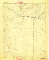
1892 · Chaco
USGS Topo · 1:250,000

1954 · Shiprock
USGS Topo · 1:250,000

1954 · Gallup
USGS Topo · 1:250,000
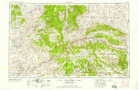
1958 · Gallup
USGS Topo · 1:250,000
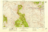
1958 · Shiprock
USGS Topo · 1:250,000
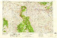
1959 · Shiprock
USGS Topo · 1:250,000
1959 · Gallup
USGS Topo · 1:250,000