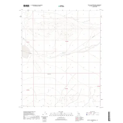
2018 Map of East of Langford Well
USGS Topo · Published 2018About this map
The Mojave Desert terrain of San Bernardino County dominates this topographic study, revealing a landscape defined by its aridity and limited transportation corridors. The arid expanse is crossed by a few essential tracks, most notably Langford Lake Rd and the utilitarian Ammo Rte, which provide access through the remote desert floor. The map is heavily structured by the Public Land Survey System, as evidenced by the convergence of township and range lines like t13n r3e and t13n r4e. These grid divisions illustrate how the vast California interior was organized into manageable sections for administrative and military oversight, even in areas largely devoid of permanent civilian settlements or water sources.
Find a feature on this map
8 named features on this map. Tap any name to fly to it.
Don’t see what you’re looking for? This feature index may not catch every label — zoom into the map to look around manually.
Map Details
Editions of this 2018 East of Langford Well Map
This is the sole edition of this map. No revisions or reprints were ever made.
Other maps of this area

1933 · Avawatz Mountains
USGS Topo · 1:250,000

1947 · Trona
USGS Topo · 1:250,000
1948 · Red Pass Lake
USGS Topo · 1:62,500

1948 · Trona
USGS Topo · 1:250,000
1948 · Alvord Mountain
USGS Topo · 1:62,500
1948 · Cave Mountain
USGS Topo · 1:62,500
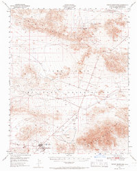
1948 · Tiefort Mountains
USGS Topo · 1:62,500
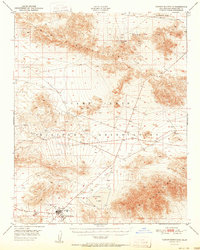
1951 · Tiefort Mountains
USGS Topo · 1:62,500
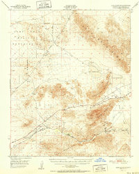
1951 · Cave Mountain
USGS Topo · 1:62,500
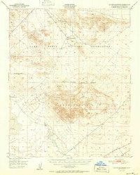
1951 · Alvord Mountain
USGS Topo · 1:62,500