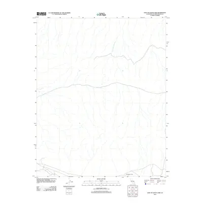
2012 Map of East of Leach Lake
USGS Topo · Published 2012About this map
Drinkwater Lake sits at the southern edge of this San Bernardino County landscape, serving as the primary named landmark in a region defined by an intricate network of desert washes and seasonal drainages. This 2012 survey by the U.S. Geological Survey captures the basin's topography during a period of modern cartographic transition, utilizing NAIP imagery and National Hydrography Dataset information to map the subtle shifts in elevation. The land is crossed by several unpaved local roads and 4WD tracks, reflecting the sparse infrastructure common in this part of California's high desert. While the map is dominated by natural terrain, these remote paths represent the primary human imprint on the territory, providing essential context for those studying modern land use or the geographical layout of the basin.
Find a feature on this map
1 named feature on this map. Tap any name to fly to it.
Don’t see what you’re looking for? This feature index may not catch every label — zoom into the map to look around manually.
Map Details
Editions of this 2012 East of Leach Lake Map
This is the sole edition of this map. No revisions or reprints were ever made.
Other maps of this area

1933 · Avawatz Mountains
USGS Topo · 1:250,000

1947 · Trona
USGS Topo · 1:250,000
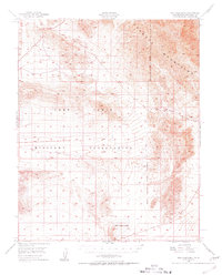
1948 · Red Pass Lake
USGS Topo · 1:62,500

1948 · Trona
USGS Topo · 1:250,000
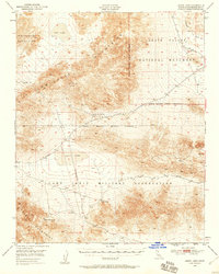
1948 · Leach Lake
USGS Topo · 1:62,500
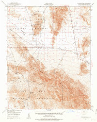
1948 · Avawatz Pass
USGS Topo · 1:62,500
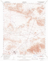
1948 · Tiefort Mountains
USGS Topo · 1:62,500
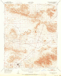
1951 · Tiefort Mountains
USGS Topo · 1:62,500
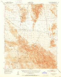
1951 · Avawatz Pass
USGS Topo · 1:62,500
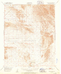
1951 · Red Pass Lake
USGS Topo · 1:62,500