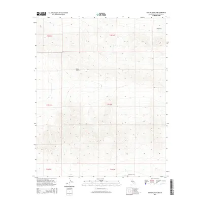
2015 Map of East of Leach Lake
USGS Topo · Published 2015About this map
Drinkwater Lake sits at the southern edge of this arid expanse, where the high terrain of the northern Mojave Desert begins its transition toward the lower elevations of Death Valley. The landscape is defined by the sharp relief of mountain ranges and deep alluvial basins, illustrating the complex geomorphology of the northern San Bernardino County region. This topographic study captures the area during the mid-2010s, revealing the intricate network of natural drainage patterns and the stark, uninhabited character of this portion of the desert. The map is primarily structured by the Public Land Survey System grids, including t18n r4e and t17n r4e, which provide a formal spatial framework for an otherwise undeveloped wilderness of ridges and dry washes.
Find a feature on this map
9 named features on this map. Tap any name to fly to it.
Don’t see what you’re looking for? This feature index may not catch every label — zoom into the map to look around manually.
Map Details
Editions of this 2015 East of Leach Lake Map
This is the sole edition of this map. No revisions or reprints were ever made.
Other maps of this area

1933 · Avawatz Mountains
USGS Topo · 1:250,000

1947 · Trona
USGS Topo · 1:250,000
1948 · Red Pass Lake
USGS Topo · 1:62,500

1948 · Trona
USGS Topo · 1:250,000
1948 · Leach Lake
USGS Topo · 1:62,500
1948 · Avawatz Pass
USGS Topo · 1:62,500
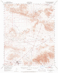
1948 · Tiefort Mountains
USGS Topo · 1:62,500
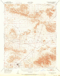
1951 · Tiefort Mountains
USGS Topo · 1:62,500
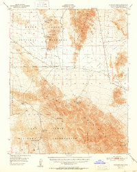
1951 · Avawatz Pass
USGS Topo · 1:62,500
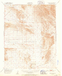
1951 · Red Pass Lake
USGS Topo · 1:62,500