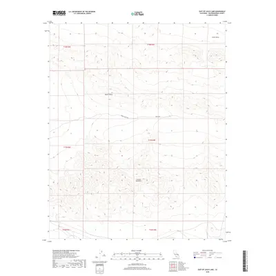
2018 Map of East of Leach Lake
USGS Topo · Published 2018About this map
The Avawatz Mountains dominate this high-desert landscape in San Bernardino County, where the topography marks the transition between two of California's most famous arid regions. To the north, the terrain descends into the southern reaches of Death Valley, while the western and central portions of the map lie within the broader Mojave Desert. The map reveals a remote, undeveloped landscape defined by stark elevation changes and dry washes, largely preserved due to its proximity to the Fort Irwin military reservation, which occupies the central-eastern portion of the quadrangle. This 2018 survey provides researchers with a detailed look at the modern boundaries and topographical contours of this protected military and desert wilderness, where land use is strictly governed by federal agencies.
Find a feature on this map
10 named features on this map. Tap any name to fly to it.
Don’t see what you’re looking for? This feature index may not catch every label — zoom into the map to look around manually.
Map Details
Editions of this 2018 East of Leach Lake Map
This is the sole edition of this map. No revisions or reprints were ever made.
Other maps of this area

1933 · Avawatz Mountains
USGS Topo · 1:250,000

1947 · Trona
USGS Topo · 1:250,000
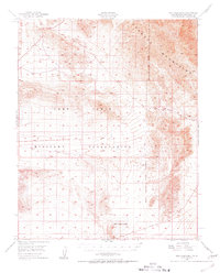
1948 · Red Pass Lake
USGS Topo · 1:62,500

1948 · Trona
USGS Topo · 1:250,000
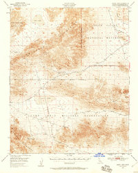
1948 · Leach Lake
USGS Topo · 1:62,500
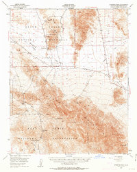
1948 · Avawatz Pass
USGS Topo · 1:62,500
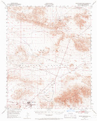
1948 · Tiefort Mountains
USGS Topo · 1:62,500
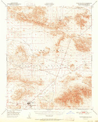
1951 · Tiefort Mountains
USGS Topo · 1:62,500
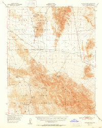
1951 · Avawatz Pass
USGS Topo · 1:62,500
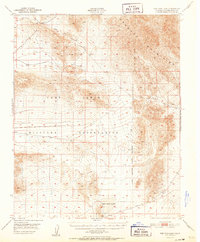
1951 · Red Pass Lake
USGS Topo · 1:62,500