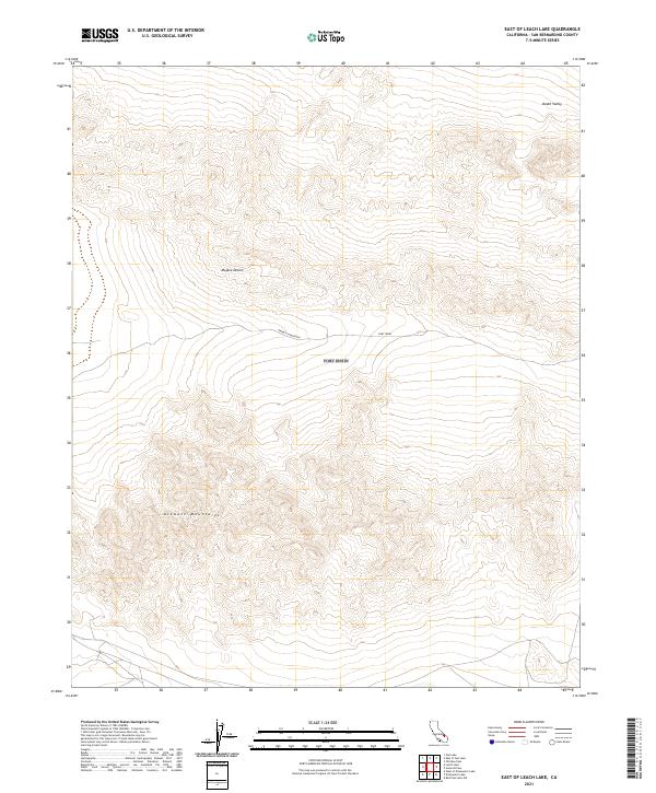
2021 Map of East of Leach Lake
USGS Topo · Published 2021About this map
Fort Irwin occupies the central landscape of this high-desert survey, where the administrative boundaries of a modern military reservation meet the natural transitions of the California interior. The terrain is defined by the significant rise of the Avawatz Mountains, which dominate the southern half of the sheet with dense contouring, providing a stark topographical barrier against the lower elevations of the surrounding basins. To the north, the map marks the southern reaches of Death Valley, while the western expanse is identified as part of the Mojave Desert. The sparse infrastructure on this 2021 edition highlights the preservation of the area for federal use, showing how the landscape remains largely dedicated to large-scale military maneuvers and natural conservation rather than civilian settlement or commercial development.
Find a feature on this map
10 named features on this map. Tap any name to fly to it.
Don’t see what you’re looking for? This feature index may not catch every label — zoom into the map to look around manually.
Map Details
Editions of this 2021 East of Leach Lake Map
This is the sole edition of this map. No revisions or reprints were ever made.
Other maps of this area

1933 · Avawatz Mountains
USGS Topo · 1:250,000

1947 · Trona
USGS Topo · 1:250,000

1948 · Red Pass Lake
USGS Topo · 1:62,500

1948 · Trona
USGS Topo · 1:250,000

1948 · Leach Lake
USGS Topo · 1:62,500

1948 · Avawatz Pass
USGS Topo · 1:62,500

1948 · Tiefort Mountains
USGS Topo · 1:62,500

1951 · Tiefort Mountains
USGS Topo · 1:62,500

1951 · Avawatz Pass
USGS Topo · 1:62,500

1951 · Red Pass Lake
USGS Topo · 1:62,500