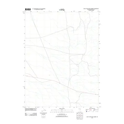
2012 Map of East of Pancake Summit
USGS Topo · Published 2012About this map
White Hill Spring serves as a critical water point in this high-desert landscape of eastern Nevada, situated near the transition of several unnamed drainage basins. The area is defined by its isolation and the vital transportation corridor of 50, also known as the Loneliest Road in America, which bisects the southern half of the quadrangle. Local connectivity is maintained by desert tracks like Co Rd 5, which navigates the alluvial fans and sparse vegetation of the White Pine County interior. This 2012 survey by the U.S. Geological Survey illustrates a region where life and travel are dictated by the presence of rare water sources and the long-distance highway network that links the Great Basin's remote basins.
Find a feature on this map
3 named features on this map. Tap any name to fly to it.
Don’t see what you’re looking for? This feature index may not catch every label — zoom into the map to look around manually.
Map Details
Editions of this 2012 East of Pancake Summit Map
This is the sole edition of this map. No revisions or reprints were ever made.
Other maps of this area
1951 · Illipah
USGS Topo · 1:62,500
1951 · Pancake Summit
USGS Topo · 1:62,500

1956 · Ely
USGS Topo · 1:250,000
1957 · Buck Mountain
USGS Topo · 1:62,500

1959 · Ely
USGS Topo · 1:250,000

1963 · Ely
USGS Topo · 1:250,000
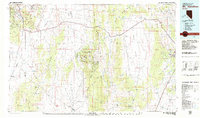
1979 · Mt. Hamilton
USGS Topo · 1:100,000
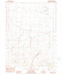
1982 · Sunshine Well
USGS Topo · 1:24,000
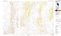
1985 · Newark Lake
USGS Topo · 1:100,000
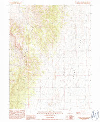
1990 · Pancake Summit SW
USGS Topo · 1:24,000