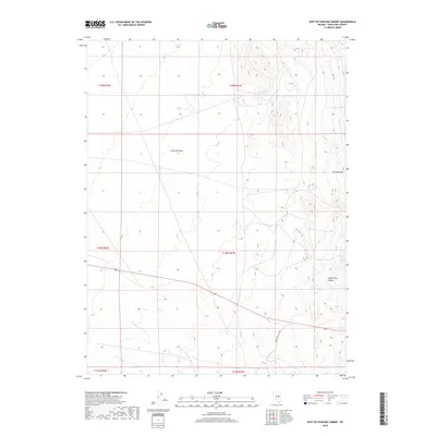
2018 Map of East of Pancake Summit
USGS Topo · Published 2018About this map
Newark Valley dominates the western half of this Nevada landscape, transitioning into the elevated terrain of the White Pine Range to the east. This 2018 U.S. Geological Survey representation of White Pine County highlights the characteristic Great Basin topography of high valleys and isolated mountain massifs. Water sources are scarce, with White Hill Spring serving as a primary named hydrological feature at the base of the hills. The human footprint is defined by White Pine Co Road 5, which traverses the southern portion of the quadrangle. Significant landmarks for orientation include the prominent Antelope Mtn, standing between the valley floor and the more complex ridges of the range. The map clearly delineates township and range boundaries, such as t19n r57e, providing a precise grid for land ownership and public land administration research.
Find a feature on this map
11 named features on this map. Tap any name to fly to it.
Don’t see what you’re looking for? This feature index may not catch every label — zoom into the map to look around manually.
Map Details
Editions of this 2018 East of Pancake Summit Map
This is the sole edition of this map. No revisions or reprints were ever made.
Other maps of this area
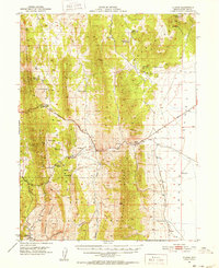
1951 · Illipah
USGS Topo · 1:62,500
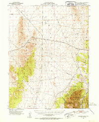
1951 · Pancake Summit
USGS Topo · 1:62,500

1956 · Ely
USGS Topo · 1:250,000
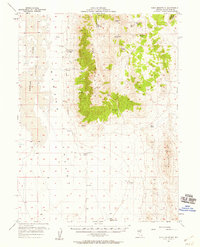
1957 · Buck Mountain
USGS Topo · 1:62,500

1959 · Ely
USGS Topo · 1:250,000

1963 · Ely
USGS Topo · 1:250,000
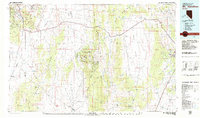
1979 · Mt. Hamilton
USGS Topo · 1:100,000
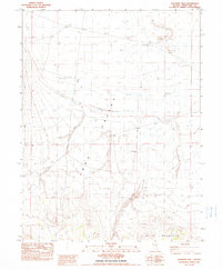
1982 · Sunshine Well
USGS Topo · 1:24,000
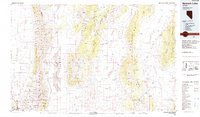
1985 · Newark Lake
USGS Topo · 1:100,000
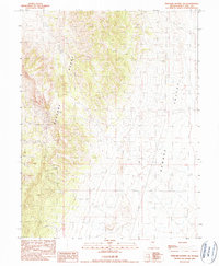
1990 · Pancake Summit SW
USGS Topo · 1:24,000