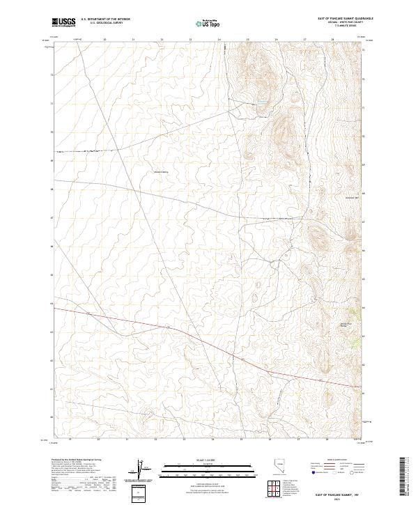
2021 Map of East of Pancake Summit
USGS Topo · Published 2021About this map
Newark Valley dominates the western portion of this Great Basin landscape, a wide alluvial expanse defined by the towering White Pine Range to the east. This 2021 survey shows a sparsely populated area where water is the primary arbiter of life, marked by the presence of White Hill Spring at the base of the northern foothills. The terrain rises sharply from the valley floor toward Antelope Mtn, illustrating the classic basin-and-range topography characteristic of this part of White Pine County. Modern transit through this high-desert environment is represented by the route of Highway 50, which cuts across the central townships. The inclusion of White Pine Co Road 5 indicates the essential secondary corridors used by local ranchers and travelers to navigate the vast distances between established settlements.
Find a feature on this map
12 named features on this map. Tap any name to fly to it.
Don’t see what you’re looking for? This feature index may not catch every label — zoom into the map to look around manually.
Map Details
Editions of this 2021 East of Pancake Summit Map
This is the sole edition of this map. No revisions or reprints were ever made.
Other maps of this area

1951 · Illipah
USGS Topo · 1:62,500

1951 · Pancake Summit
USGS Topo · 1:62,500

1956 · Ely
USGS Topo · 1:250,000

1957 · Buck Mountain
USGS Topo · 1:62,500

1959 · Ely
USGS Topo · 1:250,000

1963 · Ely
USGS Topo · 1:250,000

1979 · Mt. Hamilton
USGS Topo · 1:100,000

1982 · Sunshine Well
USGS Topo · 1:24,000

1985 · Newark Lake
USGS Topo · 1:100,000

1990 · Pancake Summit SW
USGS Topo · 1:24,000