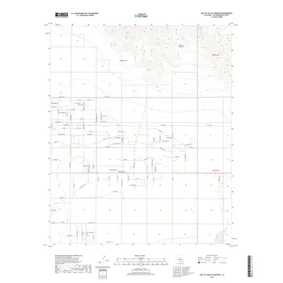
2018 Map of East of Valley Mountain
USGS Topo · Published 2018About this map
The Bullion Mountains rise sharply in the northeast corner of this map, overlooking a wide expanse of the Mojave Desert in San Bernardino County. The landscape is defined by a grid of desert tracks and residential roads that speak to rural land development and ranch-style living. Notable corridors like Pole Line Rd and Pipeline Rd reflect the industrial and utility infrastructure required to navigate and sustain life in this arid environment, while local names like Eddie Albert Rd and Old Miner's Rd hint at the area's cultural and resource-extraction history.
Find a feature on this map
49 named features on this map. Tap any name to fly to it.
Don’t see what you’re looking for? This feature index may not catch every label — zoom into the map to look around manually.
Map Details
Editions of this 2018 East of Valley Mountain Map
This is the sole edition of this map. No revisions or reprints were ever made.
Other maps of this area

1942 · Amboy
USGS Topo · 1:250,000

1943 · Amboy
USGS Topo · 1:250,000

1954 · Needles
USGS Topo · 1:250,000
1954 · Bristol Lake SW
USGS Topo · 1:24,000
1954 · Valley Mtn
USGS Topo · 1:24,000
1955 · Lead Mountain SW
USGS Topo · 1:24,000
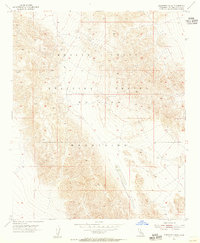
1955 · Cleghorn Lakes
USGS Topo · 1:24,000
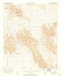
1955 · Lead Mountain
USGS Topo · 1:62,500
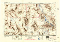
1956 · Needles
USGS Topo · 1:250,000
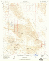
1956 · Dale Lake
USGS Topo · 1:62,500