
1955 Map of Lead Mountain SW
USGS Topo · Published 1955About this map
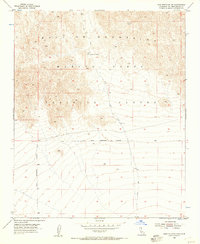
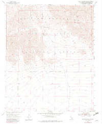
The Bullion Mountains dominate the northern half of this mid-1950s survey, representing a high-desert landscape being adapted for specialized modern use. Large portions of the terrain are designated as part of the Marine Corps Training Center, emphasizing the area's transition into a significant military training ground. A Naval Reservation Boundary cuts horizontally across the sheet, demarcating the limits of federal land management during the early Cold War era.
Find a feature on this map
6 named features on this map. Tap any name to fly to it.
Don’t see what you’re looking for? This feature index may not catch every label — zoom into the map to look around manually.
Map Details
Editions of this 1955 Lead Mountain SW Map
3 editions found
Other maps of this area

1942 · Amboy
USGS Topo · 1:250,000

1943 · Amboy
USGS Topo · 1:250,000

1953 · San Bernardino
USGS Topo · 1:250,000

1954 · Needles
USGS Topo · 1:250,000

1954 · Valley Mtn
USGS Topo · 1:24,000

1955 · Lead Mountain
USGS Topo · 1:24,000

1955 · Deadman Lake SE
USGS Topo · 1:24,000

1955 · Lead Mtn. NE
USGS Topo · 1:24,000

1955 · Deadman Lake NE
USGS Topo · 1:24,000

1955 · Twentynine Palms
USGS Topo · 1:24,000