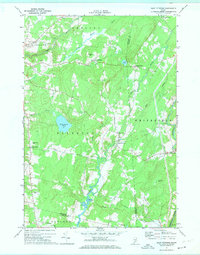
1970 Map of East Pittston
USGS Topo · Published 1974About this map
The Eastern River and its tidal flats anchor this 1970 snapshot of rural Kennebec and Lincoln Counties. The landscape is defined by its small crossroads settlements and family-named landmarks, such as North Pittston and East Pittston, situated between the elevations of Williams Hill and Beech Hill. Extensive brook networks including Stony Brook and Meadow Brook drain into the river system, reflecting the traditional drainage patterns that dictated early farm placement and road construction in the region.
Find a feature on this map
41 named features on this map. Tap any name to fly to it.
Don’t see what you’re looking for? This feature index may not catch every label — zoom into the map to look around manually.
Map Details
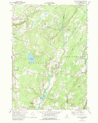
Editions of this 1970 East Pittston Map
2 editions found
Other maps of this area

1892 · Gardiner
USGS Topo · 1:62,500

1892 · Augusta
USGS Topo · 1:62,500

1893 · Vassalboro
USGS Topo · 1:62,500

1893 · Wiscasset
USGS Topo · 1:62,500

1898 · Vassalboro
USGS Topo · 1:62,500

1941 · Vassalboro
USGS Topo · 1:62,500

1941 · Augusta
USGS Topo · 1:62,500

1943 · Augusta
USGS Topo · 1:62,500

1943 · Gardiner
USGS Topo · 1:62,500

1943 · Vassalboro
USGS Topo · 1:62,500