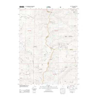
2013 Map of East Portal
USGS Topo · Published 2013About this map
Moffat Tunnel and the historical Moffat Road anchor this survey of the high mountain divide where Boulder, Grand, and Gilpin counties meet. The landscape is defined by the engineering legacy of the railroad, from the eastern entrance at East Portal to the winding ascent toward Rollins Pass. Significant transit and water infrastructure is visible, including the Denver Water Board Rd and an aqueduct near Devils Thumb Park. The rugged terrain is dotted with high-altitude water bodies like Jasper Lake and Yankee Doodle Lake, situated within the managed lands of the Arapaho National Forest and Roosevelt National Forest. Historic surveying points and mountaineering landmarks, such as Mount Jasper and the Needle Eye Tunnel, highlight the era's focus on maintaining access through the Continental Divide.
Find a feature on this map
94 named features on this map. Tap any name to fly to it.
Don’t see what you’re looking for? This feature index may not catch every label — zoom into the map to look around manually.
Map Details
Editions of this 2013 East Portal Map
This is the sole edition of this map. No revisions or reprints were ever made.
Other maps of this area

1905 · Central City
USGS Topo · 1:62,500

1910 · Central City
USGS Topo · 1:62,500

1912 · Central City
USGS Topo · 1:62,500

1915 · Longs Peak
USGS Topo · 1:125,000

1919 · Rocky Mountain National Park
USGS Topo · 1:125,000

1924 · Fraser
USGS Topo · 1:62,500

1926 · Fraser
USGS Topo · 1:62,500

1942 · Nederland
USGS Topo · 1:24,000

1942 · Central City
USGS Topo · 1:24,000
1944 · Nederland
USGS Topo · 1:31,680
Featured Places
- Buckingham Campground, CO
- Diamond Lake Campground, CO
- East Portal Distributed Camping Area, CO
- Winter Park, CO
- Grand County, CO