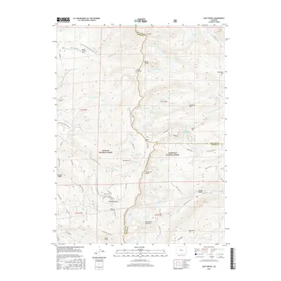
2016 Map of East Portal
USGS Topo · Published 2016About this map
The Continental Divide defines the high-altitude geography of this region at the border of Arapaho National Forest and Roosevelt National Forest. The map documents a critical corridor of transcontinental transportation history, featuring the Moffat Tunnel as it enters the mountain at East Portal. This engineering feat bypassed the treacherous climb over Rollins Pass, though the historic Moffat Road and the Boulder Wagon road remain visible as they navigate the steep terrain toward the Needle Eye Tunnel.
Find a feature on this map
86 named features on this map. Tap any name to fly to it.
Don’t see what you’re looking for? This feature index may not catch every label — zoom into the map to look around manually.
Map Details
Editions of this 2016 East Portal Map
This is the sole edition of this map. No revisions or reprints were ever made.
Other maps of this area

1905 · Central City
USGS Topo · 1:62,500

1910 · Central City
USGS Topo · 1:62,500

1912 · Central City
USGS Topo · 1:62,500

1915 · Longs Peak
USGS Topo · 1:125,000

1919 · Rocky Mountain National Park
USGS Topo · 1:125,000

1924 · Fraser
USGS Topo · 1:62,500

1926 · Fraser
USGS Topo · 1:62,500

1942 · Nederland
USGS Topo · 1:24,000

1942 · Central City
USGS Topo · 1:24,000
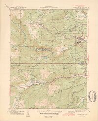
1944 · Nederland
USGS Topo · 1:31,680
Featured Places
- Buckingham Campground, CO
- Diamond Lake Campground, CO
- East Portal Distributed Camping Area, CO
- Winter Park, CO
- Grand County, CO