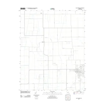
2012 Map of East Prairie
USGS Topo · Published 2012About this map
Armour Cemetery sits near the northern boundary of this Mississippi County landscape, serving as a quiet landmark within a highly structured grid of agricultural roads. The town of Dogwood and the smaller settlement of Defield anchor the central and southern portions of the map, connected by an extensive network of county routes. This 2012 survey illustrates the modern layout of East Prairie, where residential blocks meet the sprawling farm tracts typical of the Bootheel region. Local travel is defined by a dense web of numeric and named roads, such as Artic Ln, E Indian Ln, and Atlantic Ln, which delineate property lines and drainage patterns. The geographic arrangement reflects a century of land management designed to support the intensive cultivation of this alluvial plain.
Find a feature on this map
45 named features on this map. Tap any name to fly to it.
Don’t see what you’re looking for? This feature index may not catch every label — zoom into the map to look around manually.
Map Details
Editions of this 2012 East Prairie Map
This is the sole edition of this map. No revisions or reprints were ever made.
Other maps of this area

1931 · Sikeston
USGS Topo · 1:62,500

1934 · Sikeston
USGS Topo · 1:62,500

1939 · Sikeston
USGS Topo · 1:62,500

1939 · Charleston
USGS Topo · 1:62,500

1939 · New Madrid
USGS Topo · 1:62,500

1939 · Bayouville
USGS Topo · 1:62,500

1954 · Charleston
USGS Topo · 1:62,500

1954 · New Madrid
USGS Topo · 1:62,500

1955 · Bayouville
USGS Topo · 1:62,500

1956 · Dyersburg
USGS Topo · 1:250,000