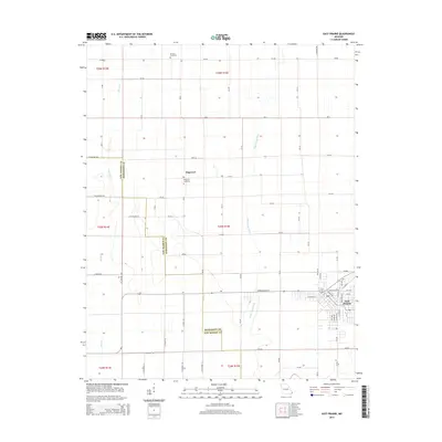
2015 Map of East Prairie
USGS Topo · Published 2015About this map
East Prairie sits as the primary hub of this landscape, its residential grid defined by streets like Defield Ave and Claressa St. The surrounding countryside in Mississippi County is heavily marked by an extensive drainage network, where engineered waterways like Ash Ditch and Maple Slough Ditch manage the flat lowlands. This water management is a defining characteristic of the region's agricultural infrastructure, supporting the rural development between the larger town and the smaller community of Dogwood. Local history is anchored by sites such as Dogwood Cemetery and Armour Cemetery, which provide points of continuity for families in this corner of the Bootheel. The boundary between New Madrid and Mississippi counties runs through the western portion of the map, illustrating how local governance follows the section lines of the Public Land Survey System.
Find a feature on this map
69 named features on this map. Tap any name to fly to it.
Don’t see what you’re looking for? This feature index may not catch every label — zoom into the map to look around manually.
Map Details
Editions of this 2015 East Prairie Map
This is the sole edition of this map. No revisions or reprints were ever made.
Other maps of this area

1931 · Sikeston
USGS Topo · 1:62,500

1934 · Sikeston
USGS Topo · 1:62,500

1939 · Sikeston
USGS Topo · 1:62,500

1939 · Charleston
USGS Topo · 1:62,500

1939 · New Madrid
USGS Topo · 1:62,500

1939 · Bayouville
USGS Topo · 1:62,500

1954 · Charleston
USGS Topo · 1:62,500

1954 · New Madrid
USGS Topo · 1:62,500

1955 · Bayouville
USGS Topo · 1:62,500

1956 · Dyersburg
USGS Topo · 1:250,000