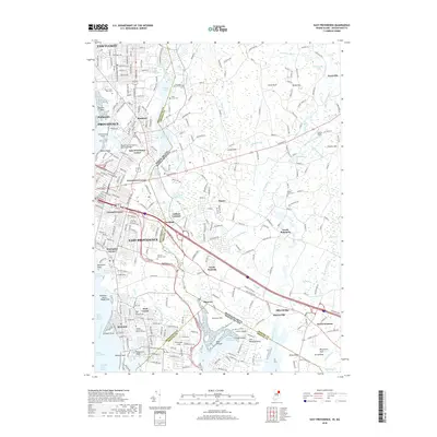
2018 Map of East Providence
USGS Topo · Published 2018About this map
East Providence and the Providence River shoreline are depicted here in a landscape defined by industrial heritage and suburban density. The map reveals the intricate water network of the Ten Mile River and Runnins River, which once powered local industry, as evidenced by features like the Old Grist Mill Pond. Historical points of interest for genealogists include the Ancient Little Neck Burial Ground near Riverside and several prominent cemeteries such as Mount Saint Mary Cem and Newman Avenue Cem. Across the state line in Massachusetts, settlements like Seekonk and South Rehoboth maintain a more transitional character between the urban core of Pawtucket and the coastal marshes of Hundred Acre Cove. The Boston and Providence Railroad Bridge stands as a primary crossing, illustrating the long-standing transportation corridors that have shaped this border region.
Find a feature on this map
86 named features on this map. Tap any name to fly to it.
Don’t see what you’re looking for? This feature index may not catch every label — zoom into the map to look around manually.
Map Details
Editions of this 2018 East Providence Map
This is the sole edition of this map. No revisions or reprints were ever made.
Other maps of this area

1885 · Taunton
USGS Topo · 1:62,500

1887 · Providence
USGS Topo · 1:62,500

1888 · Fall River
USGS Topo · 1:62,500

1888 · Taunton
USGS Topo · 1:62,500

1889 · Providence
USGS Topo · 1:62,500

1890 · Narragansett Bay
USGS Topo · 1:62,500

1892 · Narragansett Bay
USGS Topo · 1:62,500

1893 · Taunton
USGS Topo · 1:62,500

1893 · Fall River
USGS Topo · 1:62,500

1894 · Providence
USGS Topo · 1:62,500