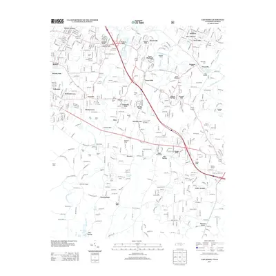
2013 Map of East Ridge
USGS Topo · Published 2013About this map
W Chickamauga Cr and S Chickamauga Cr carve through this corridor, defining a landscape marked by numerous historic crossings and suburban growth. The persistence of water-based place names, from Graysville Springs to Blue Spring Lake, reflects the importance of these natural resources to the region's development. Local history is deeply embedded in the terrain at The Backbone and Boynton Ridge, while the presence of Catoosa Memorial Gardens and Camp Scott Patterson provides specific points of interest for genealogists and researchers.
Find a feature on this map
79 named features on this map. Tap any name to fly to it.
Don’t see what you’re looking for? This feature index may not catch every label — zoom into the map to look around manually.
Map Details
Editions of this 2013 East Ridge Map
This is the sole edition of this map. No revisions or reprints were ever made.
Other maps of this area

1886 · Ringgold
USGS Topo · 1:125,000

1888 · Chattanooga
USGS Topo · 1:125,000

1892 · Ringgold
USGS Topo · 1:125,000

1893 · Chattanooga
USGS Topo · 1:125,000

1935 · East Chattanooga
USGS Topo · 1:24,000

1935 · East Ridge
USGS Topo · 1:24,000

1935 · Ringgold
USGS Topo · 1:24,000

1935 · Nickajack Gap
USGS Topo · 1:24,000

1935 · Ooltewah
USGS Topo · 1:24,000

1935 · Tunnel Hill
USGS Topo · 1:24,000