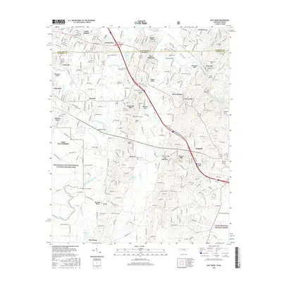
2016 Map of East Ridge
USGS Topo · Published 2016About this map
Chickamauga and Chattanooga National Military Park dominates the western edge of this landscape, preserving the hallowed grounds of a critical Civil War conflict along the banks of West Chickamauga Creek. This modern survey reveals a dense network of suburban growth and historical landmarks straddling the Tennessee-Georgia border, where the residential communities of East Ridge and Lansdell Park meet the rising terrain of Boynton Ridge and The Backbone. Local history is anchored by numerous family and community burial sites, including Old Post Oak Cem and Gilliland Cem, while the industrial past is marked by Swanson Mill on South Chickamauga Creek. The infrastructure of the region is defined by the heavy corridor of I-75, which cuts through the heart of the terrain near Happy Top and Blevins Acre, providing a sharp contrast to the protected acreage of the Chattahoochee National Forest in the southeast.
Find a feature on this map
75 named features on this map. Tap any name to fly to it.
Don’t see what you’re looking for? This feature index may not catch every label — zoom into the map to look around manually.
Map Details
Editions of this 2016 East Ridge Map
This is the sole edition of this map. No revisions or reprints were ever made.
Other maps of this area

1886 · Ringgold
USGS Topo · 1:125,000

1888 · Chattanooga
USGS Topo · 1:125,000

1892 · Ringgold
USGS Topo · 1:125,000

1893 · Chattanooga
USGS Topo · 1:125,000

1935 · East Chattanooga
USGS Topo · 1:24,000

1935 · East Ridge
USGS Topo · 1:24,000

1935 · Ringgold
USGS Topo · 1:24,000

1935 · Nickajack Gap
USGS Topo · 1:24,000

1935 · Ooltewah
USGS Topo · 1:24,000

1935 · Tunnel Hill
USGS Topo · 1:24,000