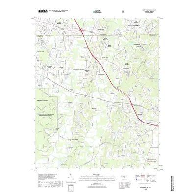
2019 Map of East Ridge
USGS Topo · Published 2019About this map
Chickamauga and Chattanooga National Military Park anchors the western edge of this 2019 survey, where the historic landscape of the American Civil War meets the suburban expansion of Chattanooga and East Ridge. The map traces the winding course of West Chickamauga Creek as it flows north toward the Tennessee-Georgia state line, passing through a terrain defined by significant creek crossings like Alexander Bridge and Reed Bridge. To the east, the ridge and valley topography is evident in features such as Boynton Ridge and the prominent formation known as The Backbone. This era shows a densely settled corridor with established neighborhoods like Lansdell Park, Harris Hills, and Indian Springs. Local history is preserved in numerous family and community burial grounds, including the Old Post Oak Cem and Graysville Cem, while recreation centers around Lake Winnepeasauka and the northern reaches of the Chattahoochee National Forest.
Find a feature on this map
79 named features on this map. Tap any name to fly to it.
Don’t see what you’re looking for? This feature index may not catch every label — zoom into the map to look around manually.
Map Details
Editions of this 2019 East Ridge Map
This is the sole edition of this map. No revisions or reprints were ever made.
Other maps of this area

1886 · Ringgold
USGS Topo · 1:125,000

1888 · Chattanooga
USGS Topo · 1:125,000

1892 · Ringgold
USGS Topo · 1:125,000

1893 · Chattanooga
USGS Topo · 1:125,000

1935 · East Chattanooga
USGS Topo · 1:24,000

1935 · East Ridge
USGS Topo · 1:24,000

1935 · Ringgold
USGS Topo · 1:24,000

1935 · Nickajack Gap
USGS Topo · 1:24,000

1935 · Ooltewah
USGS Topo · 1:24,000

1935 · Tunnel Hill
USGS Topo · 1:24,000