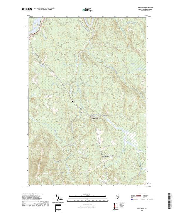
2024 Map of East Winn
USGS Topo · Published 2024About this map
The Penobscot River and its confluence with the Mattawamkeag River anchor this corner of Penobscot County, where the landscape is defined by a dense network of tributaries and low-lying wetlands. The settlement of Winn sits along the western bank, overlooking the river's Five Island Rapids and Houston Island. Further inland, the terrain transitions to the uplands of Rollins Mtn and the winding course of the Mattakeunk Stream, which drains much of the central territory.
Find a feature on this map
35 named features on this map. Tap any name to fly to it.
Don’t see what you’re looking for? This feature index may not catch every label — zoom into the map to look around manually.
Map Details
Editions of this 2024 East Winn Map
This is the sole edition of this map. No revisions or reprints were ever made.
Other maps of this area

1920 · Winn
USGS Topo · 1:62,500

1931 · Springfield
USGS Topo · 1:48,000

1934 · Springfield
USGS Topo · 1:62,500

1940 · Mattawamkeag
USGS Topo · 1:62,500

1941 · Wytopitlock
USGS Topo · 1:62,500

1942 · Mattawamkeag
USGS Topo · 1:62,500

1943 · Wytopitlock
USGS Topo · 1:62,500

1954 · Millinocket
USGS Topo · 1:250,000

1958 · Millinocket
USGS Topo · 1:250,000

1960 · Millinocket
USGS Topo · 1:250,000