
2012 Map of Eastern Isles Dernieres
USGS Topo · Published 2012About this map
The fragile barrier islands of Terrebonne Parish, Louisiana, are documented here just before the middle of the 2010s. This coastal environment is defined by the shifting interface between the Gulf of Mexico and protected interior waters like Trinity Bay. The geography is characterized by narrow strips of land and significant industrial maritime infrastructure, notably the Block 8 Seaplane Base located at the eastern edge of the island chain. This facility reflects the ongoing importance of air and sea logistics in the region's offshore economy.
Find a feature on this map
8 named features on this map. Tap any name to fly to it.
Don’t see what you’re looking for? This feature index may not catch every label — zoom into the map to look around manually.
Map Details
Editions of this 2012 Eastern Isles Dernieres Map
This is the sole edition of this map. No revisions or reprints were ever made.
Other maps of this area
1935 · Cocodrie
USGS Topo · 1:31,680
1945 · Cocodrie
USGS Topo · 1:31,680
1945 · Lake La Graisse
USGS Topo · 1:31,680
1945 · New Orleans
USGS Topo · 1:250,000
1946 · Lake La Graisse
USGS Topo · 1:31,680
1949 · Dog Lake
USGS Topo · 1:31,680
1950 · Derniere
USGS Topo · 1:31,680
1953 · Central Isles Dernieres
USGS Topo · 1:24,000
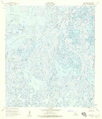
1953 · Dog Lake
USGS Topo · 1:24,000
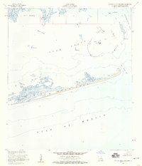
1953 · Eastern Isles Dernieres
USGS Topo · 1:24,000